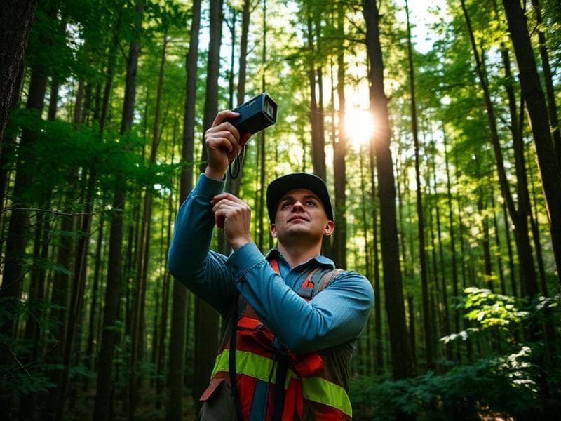
A Western Ghats inventory team replaces sample plots and calipers with under-canopy SLAM scanning and automated tree metrics.
Client
Forestry research unit, Karnataka
Kit
FJD Trion P2 + Trion Model forestry module
Plot size
40 plots of 0.1 ha
Result
6× faster inventory, DBH within ±1.2 cm
Why it matters
Forests are habitat, carbon sink and watershed. Managing them needs measurement that is repeatable — and manual plot inventory is slow, subjective and hard to revisit.
The field method
- One operator walks a figure-of-eight path through each plot.
- Under-canopy SLAM holds trajectory without GNSS.
- Trion Model auto-segments stems and computes DBH, height and count.
- Plots re-scanned annually for growth and mortality tracking.
Outcome
- Inventory throughput about six times manual caliper work.
- DBH agreement within ±1.2 cm against tape reference.
- Permanent 3D record for future re-measurement and audit.
- Carbon-stock reporting generated directly from the cloud.