JAS
geomatics .in
Just Landed

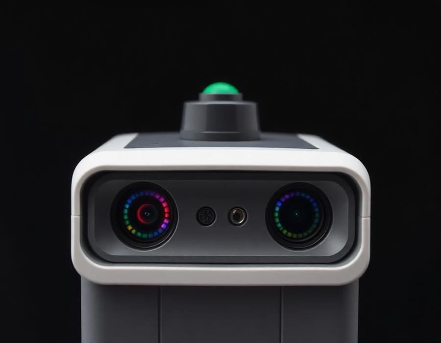
P2 Vision+

Act faster with 3D thermal insight.

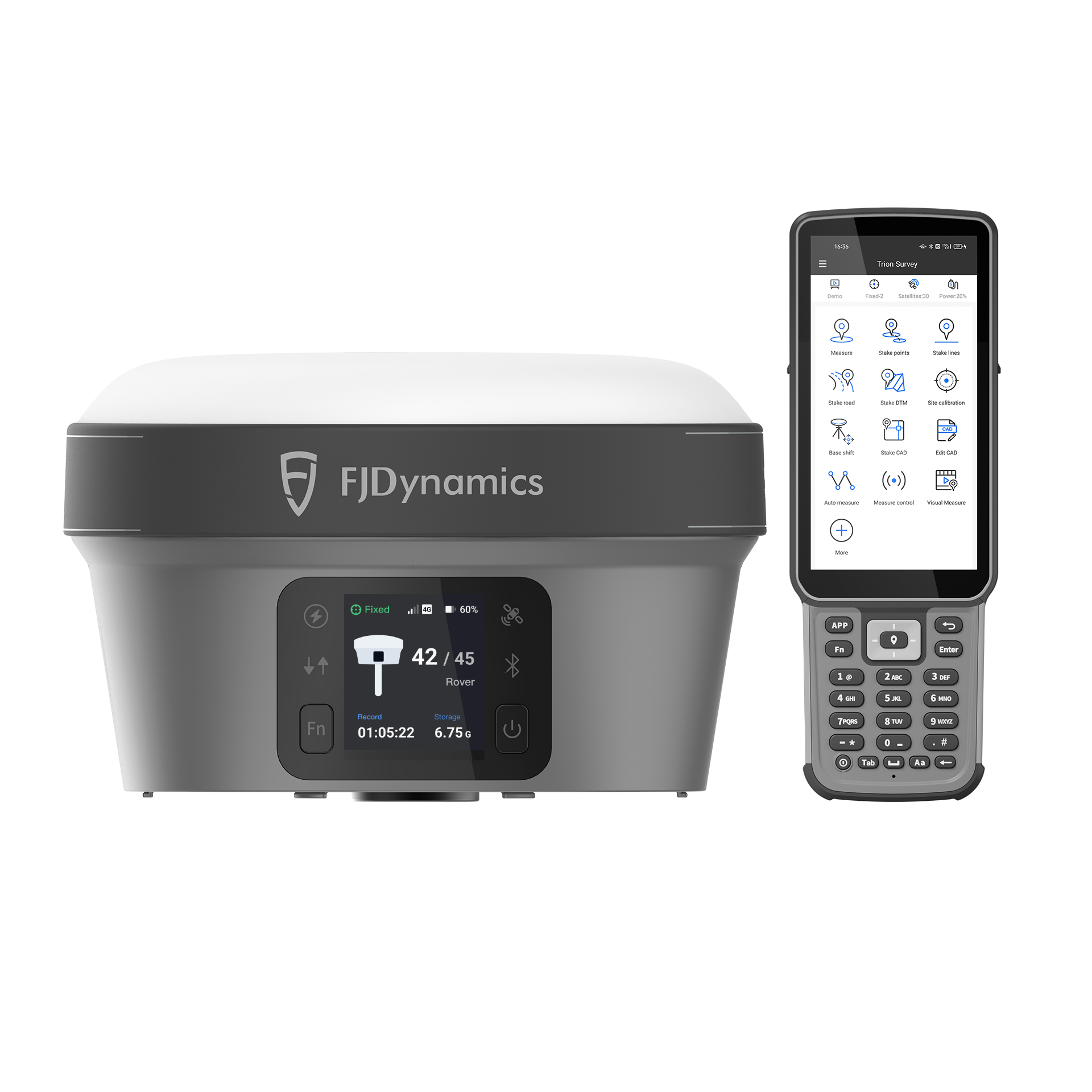
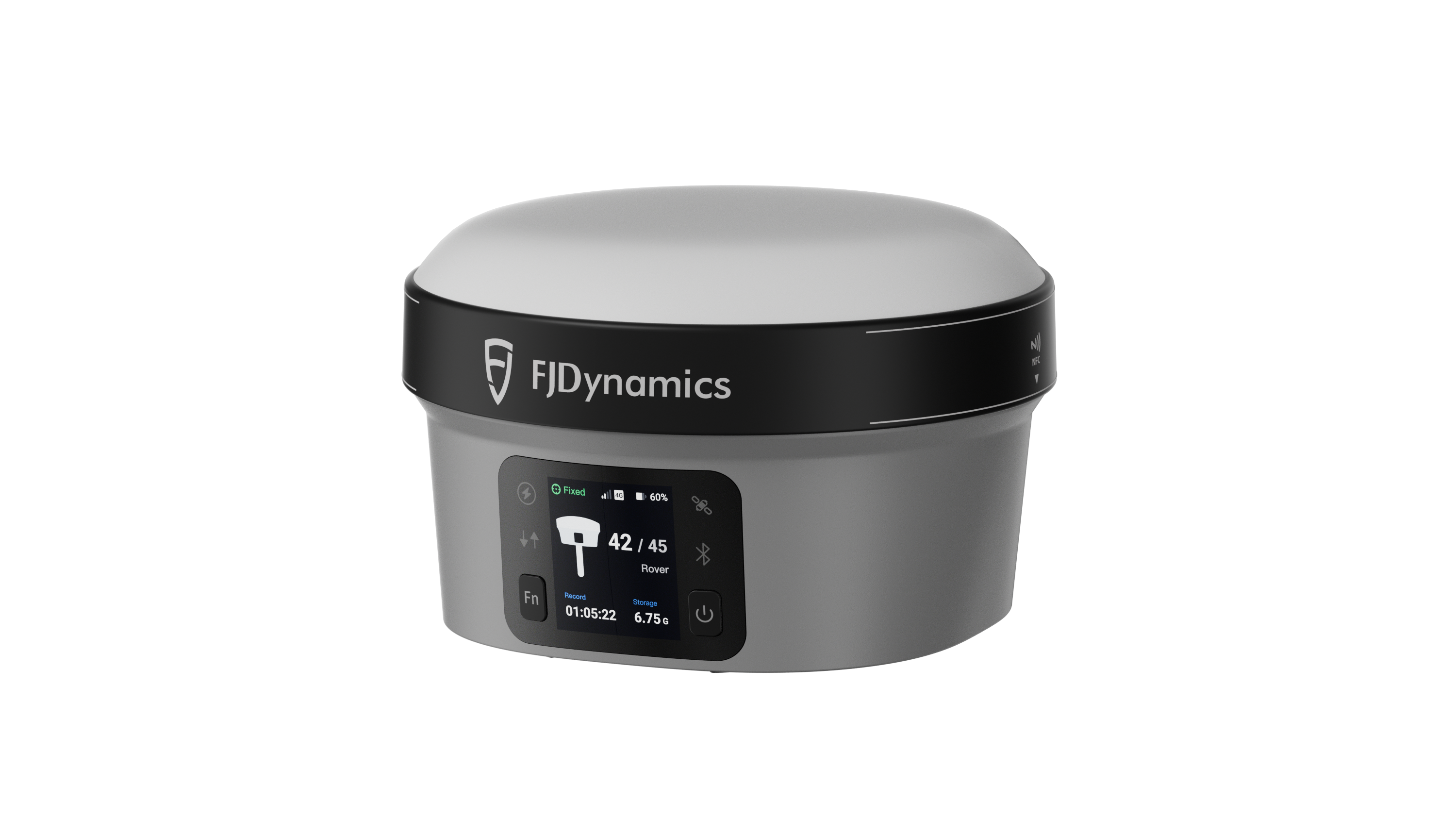
The Product Line

One toolkit for every reality.

Handheld LiDAR, precision GNSS and machine guidance — engineered for surveyors, contractors and BIM teams across India.
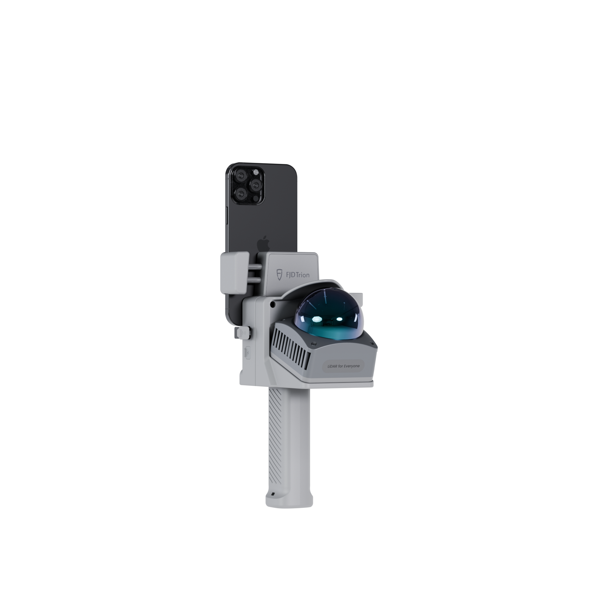
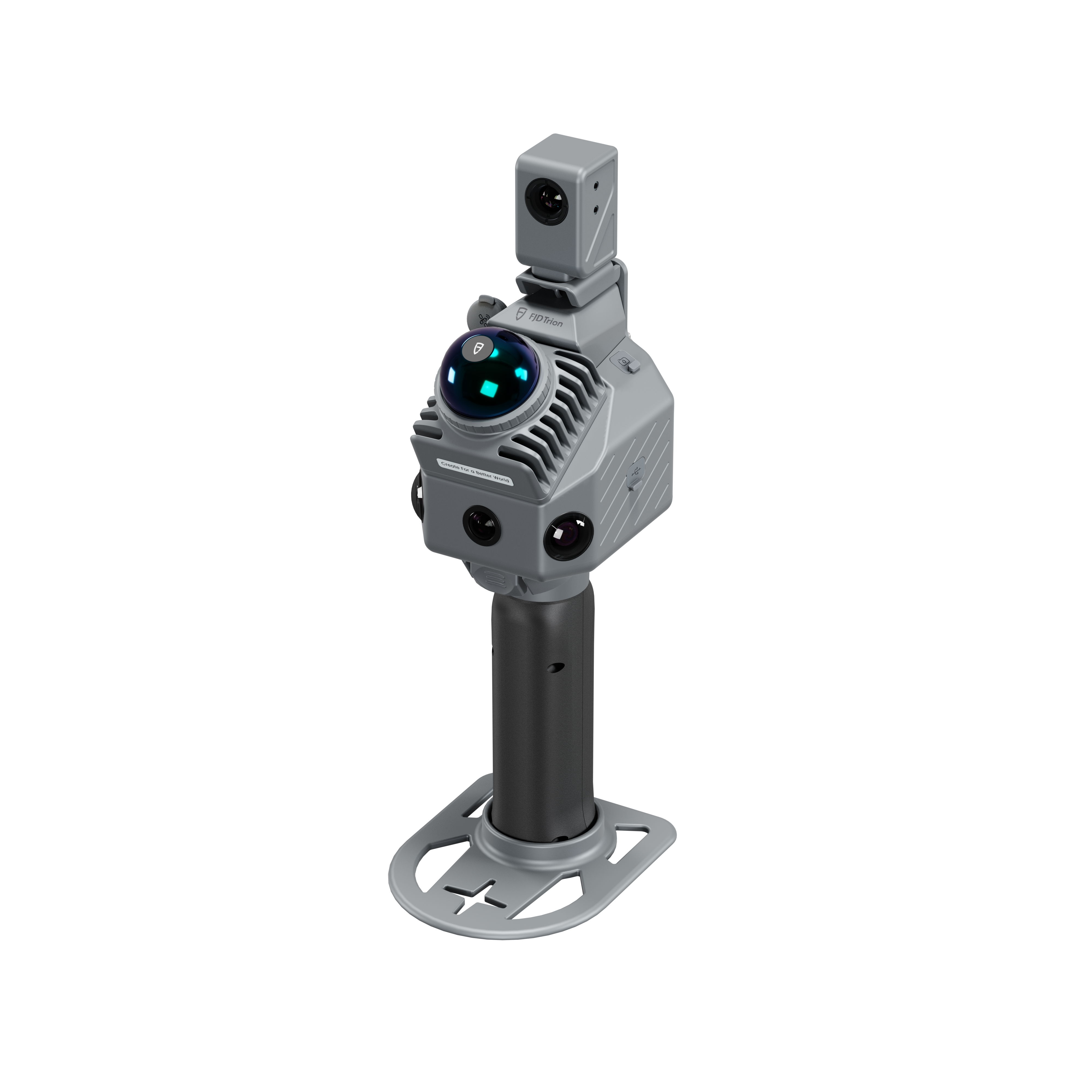
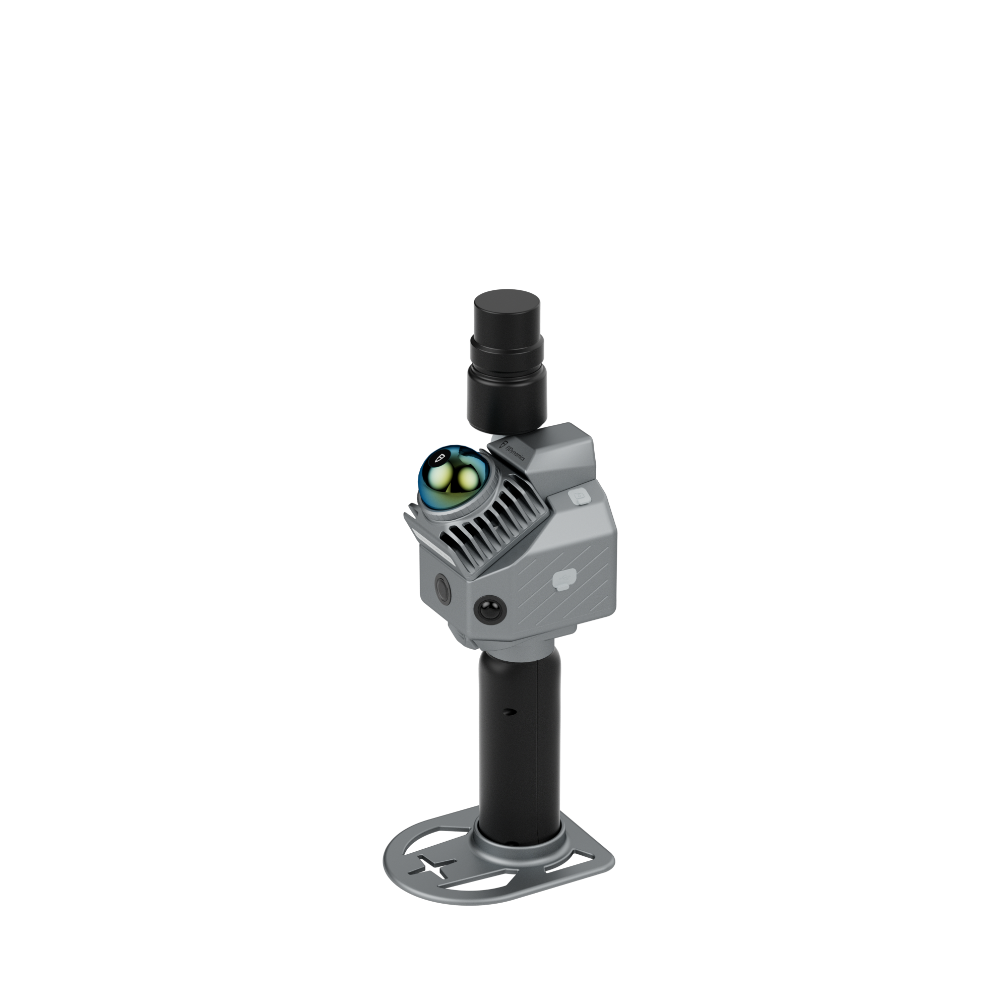
P2 Vision+ scanner
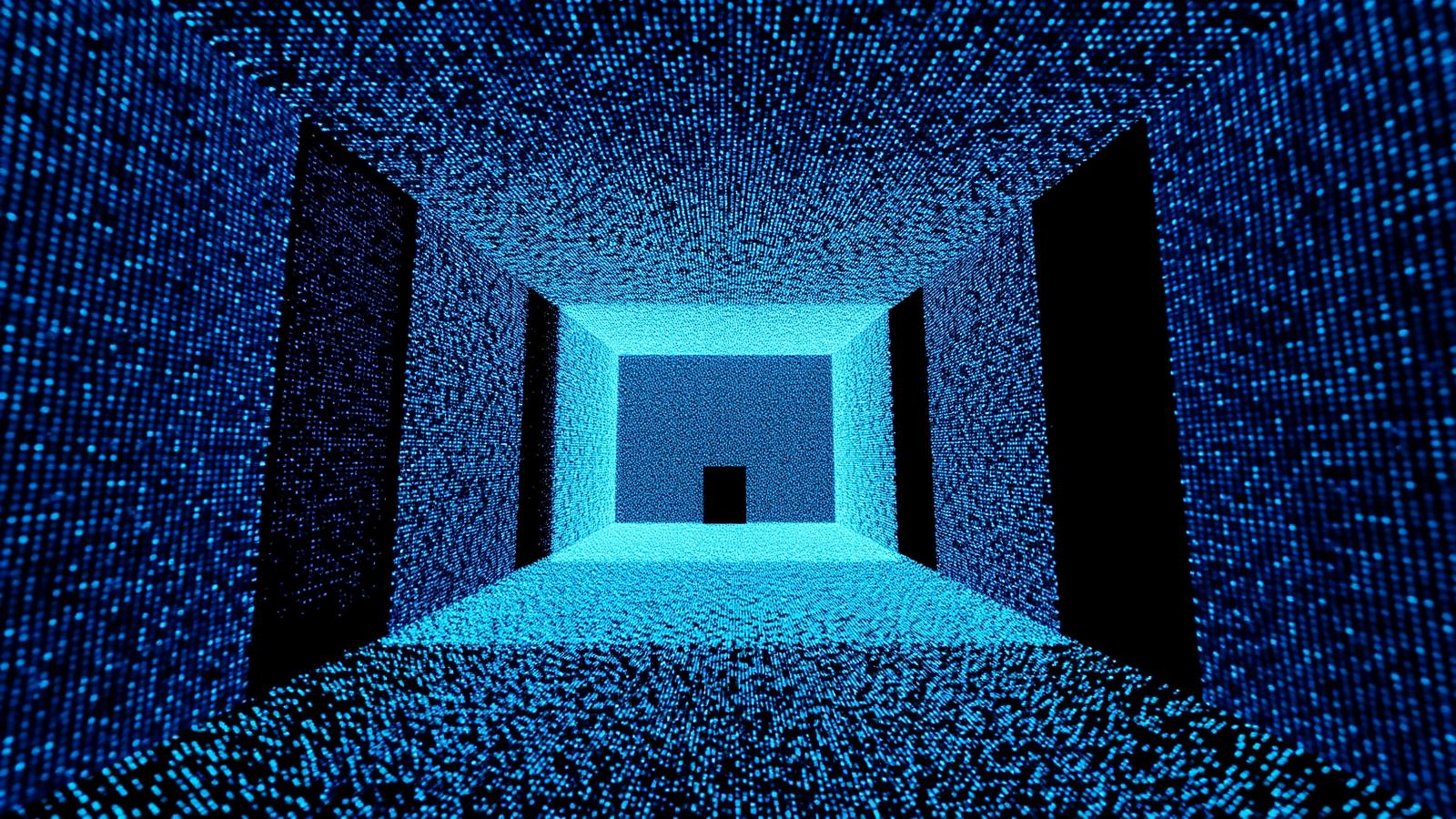
3D Gaussian Splatting

Turn scans into
immersive digital twins.

Skip complex meshing and manual modelling. Our engine renders photorealistic scenes from raw scan data in minutes — ready to view, share and review in the browser.

500 M+
Points / second
±5 mm
Scan accuracy
10×
Faster capture
Explore Reality Modeling
Trion on Tour

Meet us in person.

See where we're heading next across India and Asia. Book a live demo at any of these events and scan with us on the floor.
Hyderabad
GEO INDIA
Feb 16-18, 2026
Book a meeting →
New Delhi
CONBUILD
Mar 3-7, 2026
Book a meeting →
Singapore
GEO CONNECT ASIA
Mar 31 - Apr 1, 2026
Book a meeting →
Mumbai
SMART CITIES EXPO
Apr 29-30, 2026
Book a meeting →
Bengaluru
SURVEY WORLD
Jun 3-4, 2026
Book a meeting →
Munich, DE
INTERGEO 2026
Sep 15-17, 2026
Book a meeting →

JAS geomatics  P2 LiDAR Scanner

Next-Generation Portable Design,
Industrial-Grade Accuracy

Weighing just 700g, the JAS geomatics P2 LiDAR Scanner delivers centimeter-level precision, real-time colorized point clouds, and multi-format outputs. Its field-ready design lets professionals capture complex landscapes and intricate details with ease.

Field Demo

JAS geomatics P2 redefines scanning possibilities

Multi-SLAM Fusion, Robust Performance

Eliminate drift with hybrid constraints, even in featureless areas like beaches, tunnels, and parks.

HyperDense+

With the HyperDense+ feature in the JAS geomatics Model, it delivers 5–7× denser clouds, giving you better colorization and overall quality.


Point Cloud
HyperDense+
HyperDense+Point Cloud
‹›

Real-Time True-Color Point Clouds

Built-in Camera

2MP Front Camera · Global Shutter, 70° FOV
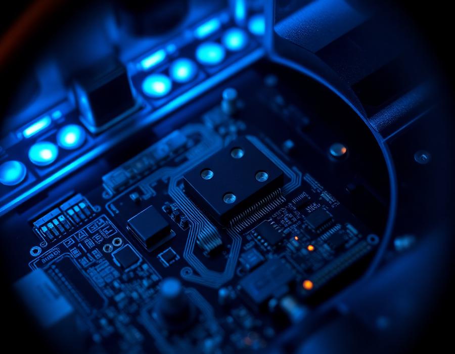
Upgrade CPU

On-device CPU · Real-time processing

Capture motion without blur with a 2MP global shutter, and record high detail textures using dual 12MP RGB cameras.

One Scan, Multiple Deliverables

Maximize efficiency with multi-format deliverables from a single scan.
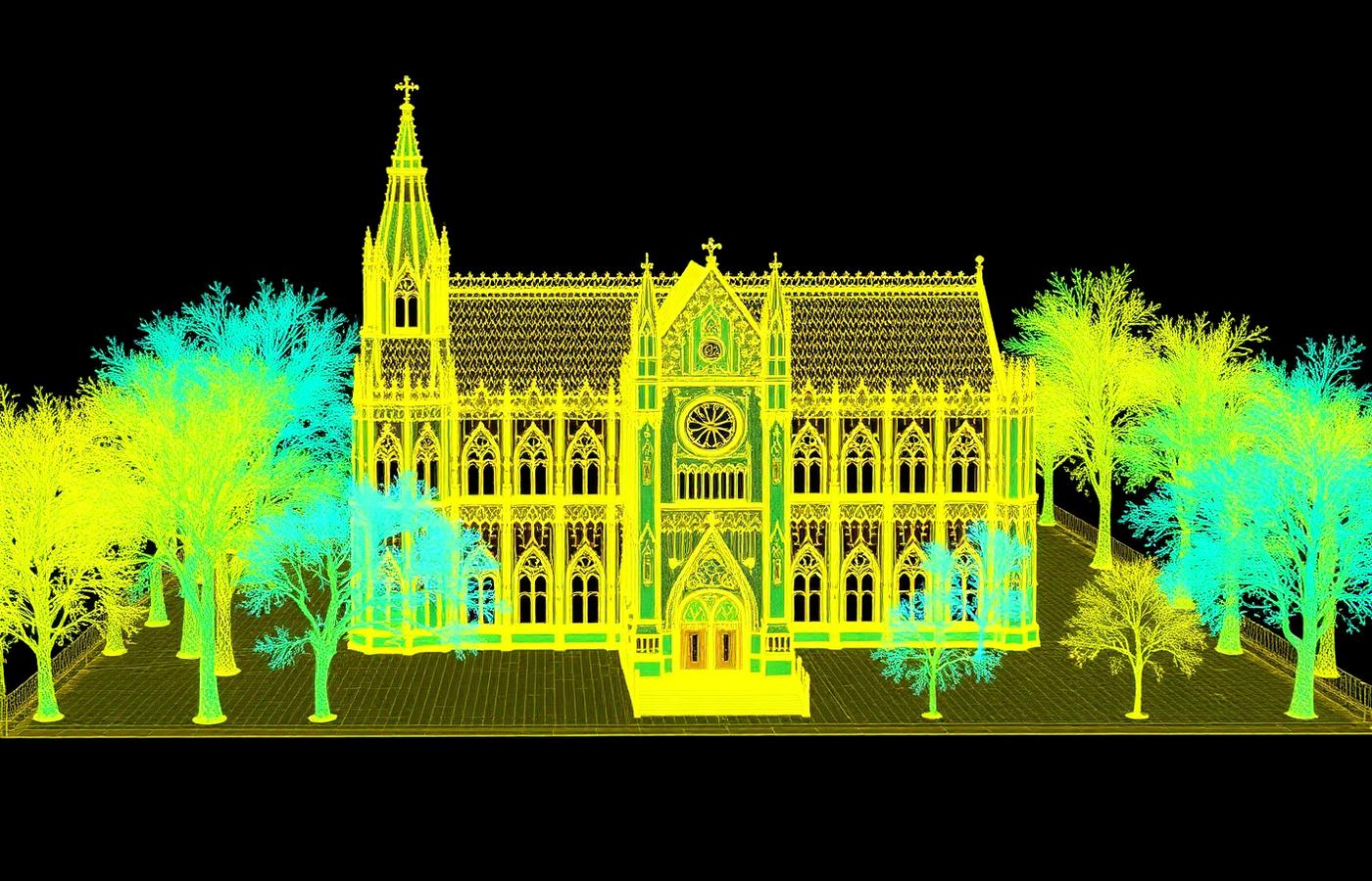
Point Clouds2D Floor Plans3D Mesh Models3D Gaussian SplattingGeoreferenced Panoramas

Designed to Work Together

Capture, process, and deliver your 3D data within one connected JAS geomatics workflow.

Data Collection

JAS geomatics Scan

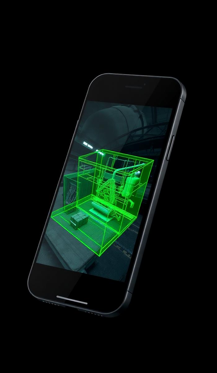
App based real time control and scan file management.
GET IT ON
Google Play
Download on the
App Store
JAS geomatics  Scan

Data Processing

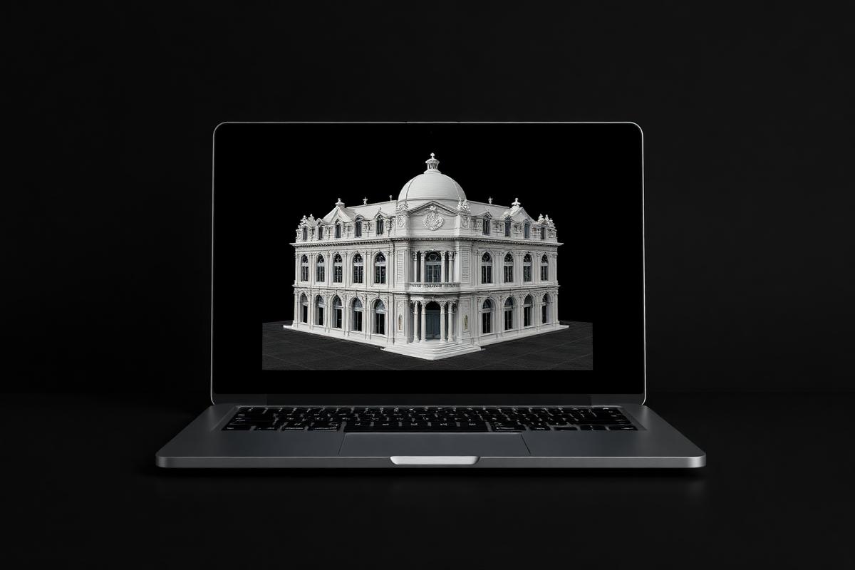
JAS geomatics Model

Generate reports for construction, forestry, mining, and more.
JAS geomatics  Model

Generate Deliverables

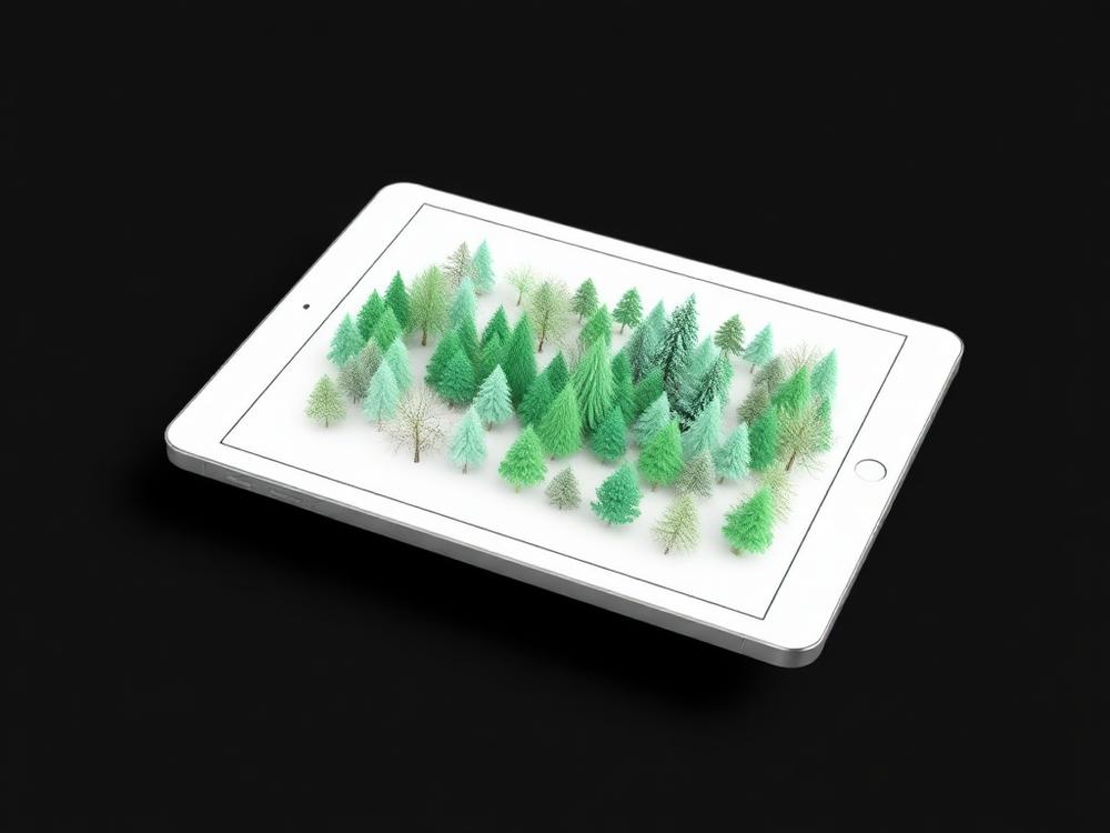
JAS geomatics Model for Tablets

On site post processing and preview with iPad and Android support.
GET IT ON
Google Play
Download on the
App Store
JAS geomatics  Model for Tablets

Cloud Collaboration

JAS geomatics Model Web

Share data online and collaborate with your team using different tools.

GET IT ON
Google Play
Download on the
App Store
JAS geomatics  Model Web

JAS geomatics P2 Specifications

Scanner
Scanner
Scanner
Speed200,000 pts/s
Field of View360° × 59°
Scanning Range40 m @ 10% reflectivity / 70 m @ 80% reflectivity
Laser Wavelength905 nm
Safety LevelEye-safety Class I
Point Cloud ProcessingReal-time processing
Point Cloud DisplayReal-time point cloud preview
Continue Scanning
HyperDense+
Real-Time Point Cloud AccuracyRelative: 2 cm / Absolute: 5 cm
Post-Processed Point Cloud AccuracyRelative: 1 cm / Absolute: 3 cm
FOV (Front Camera)70°
FOV (Side Camera)280° × 149°
Resolution (Front Camera)2 MP
Resolution (Side Camera)2 × 12 MP
Visual SLAM
Image Export
Image Format.jpg
Dimensions110 × 106 × 280 mm
Weight700 g (bare) · 1200 g (+battery & GNSS) · 1500 g (+external camera)
Storage512 GB SSD (1 TB expandable)
Operating Temperature-20 °C – 50 °C
Storage Temperature-40 °C – 60 °C
Ingress ProtectionIP 54
Data ExportWireless Network, USB Type-C, USB Flash Disk
Battery Life4 H (excl. external camera) · 3 H (incl. external camera)
Power SupplyDC Handheld Battery
Power Consumption15 W (excl. camera) · 21 W (incl. camera)
Charger67 W Fast Charging
Simultaneous Dual-Battery Charging
Satellite ConstellationBDS: B1I / B2I / B3I / B1C / B2a / B2b · GPS: L1 C/A / L1C / L2P(Y) / L2C / L5 · GLONASS: G1 / G2 / G3
PPK