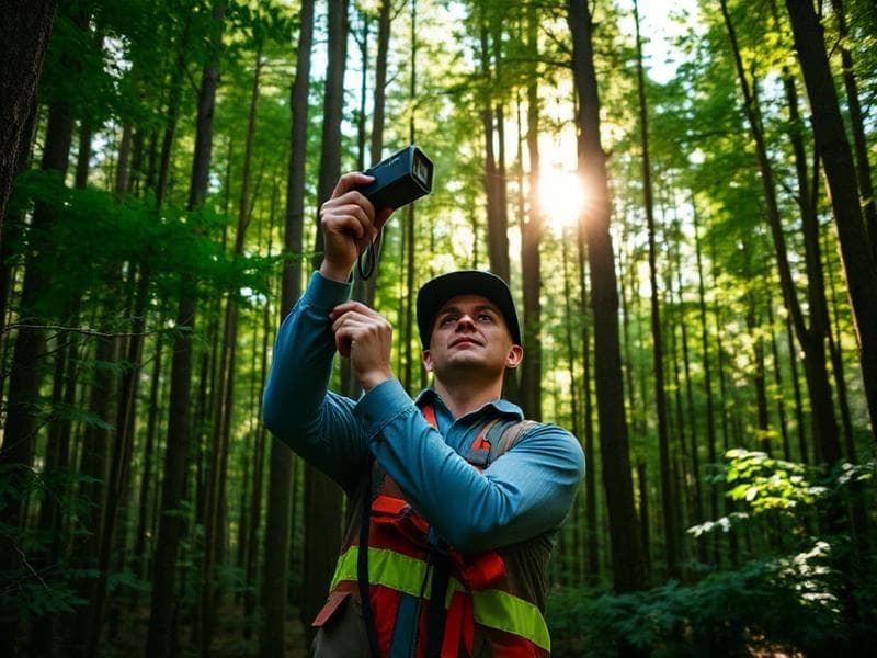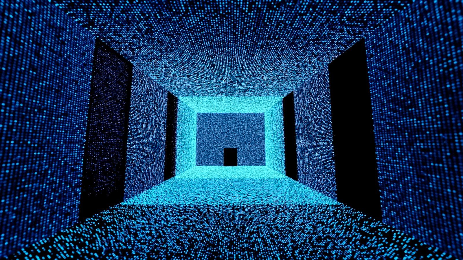
Narrow lanes, fragile façades and no room for tripods — a conservation team documents Shahjahanabad courtyard houses in a single week.
Client
Heritage conservation trust, Delhi
Kit
FJD Trion P2 Vision
Scope
9 havelis, courtyards and street elevations
Result
Complete record in 6 field days
The site
The lanes of Shahjahanabad are barely two metres wide in places, with overhangs, cables and constant foot traffic. Static scanning would have meant dozens of setups per building and permission to block access.
How it was captured
- Continuous walking scans through courtyards, stairs and terraces.
- Street elevations captured while walking the lane, no road closure.
- Colourised cloud plus imagery for plaster and timber condition mapping.
What the trust got
- Measured plans, sections and elevations for each haveli.
- A permanent digital twin for conservation planning and grant applications.
- A web-shareable model for public outreach.