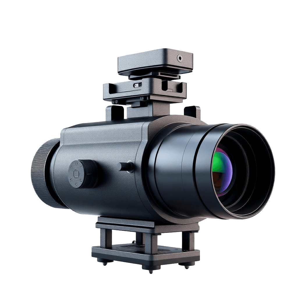
How an Ahmedabad practice converts physical space into clean 2D CAD deliverables without re-measuring anything twice.
Client
Architectural surveying practice, Ahmedabad
Kit
FJD Trion P1 + Trion Model PC
Deliverable
Plans, sections, elevations in DWG
Result
Drafting effort down ~45%
The question every surveyor asks
How do you convert physical space into accurate CAD, efficiently, without a second visit? The answer is a workflow where capture, registration and drafting are designed as one chain instead of three separate jobs.
Step-by-step
- Capture: continuous walk per floor, closing loops at the entry point.
- Register: automatic loop closure, control points applied where required.
- Slice: horizontal and vertical sections generated at chosen levels.
- Draft: vector traced over the slice, exported to DWG with layer standards.
Outcome
- About 45% less drafting effort per building.
- Dimensional checks resolved against the cloud instead of site visits.
- Consistent layer and lineweight standards across all deliverables.